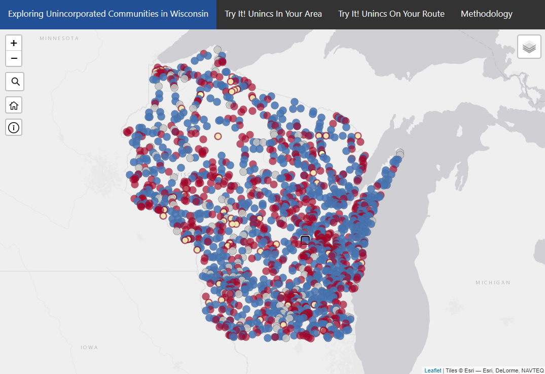
Phantom Unincorporated Communities in WI
This web application is the end result of Geography 778: Practicum in GIS Development, the final class for my UW-Madison Online Master's in Cartography and GIS. Briefly, the Wisconsin State Cartographer’s Office (SCO) has assembled a collection (~625) of what are currently (and questionably) recognized by the United States Geological Survey (USGS) in their Geographic Names Information System (GNIS) as unincorporated communities in Wisconsin. It was the intent of this project to develop a mapping methodology that would identify those unincorporated communities in the collection that are no longer physically existing anywhere but on a map. To distinguish them from other communities, these members of the collection are identified as “Likely Phantom Communities.” Once verified as “truly” Phantom, they can be presented to the USGS for appropriate re-symbolization or removal from US Topo maps.
For a more complete description of the project and its development process, please read the Executive Summary.
The technology used included ArcGIS Pro, HTML, CSS and JavaScript (including Bootstrap and Leaflet).
