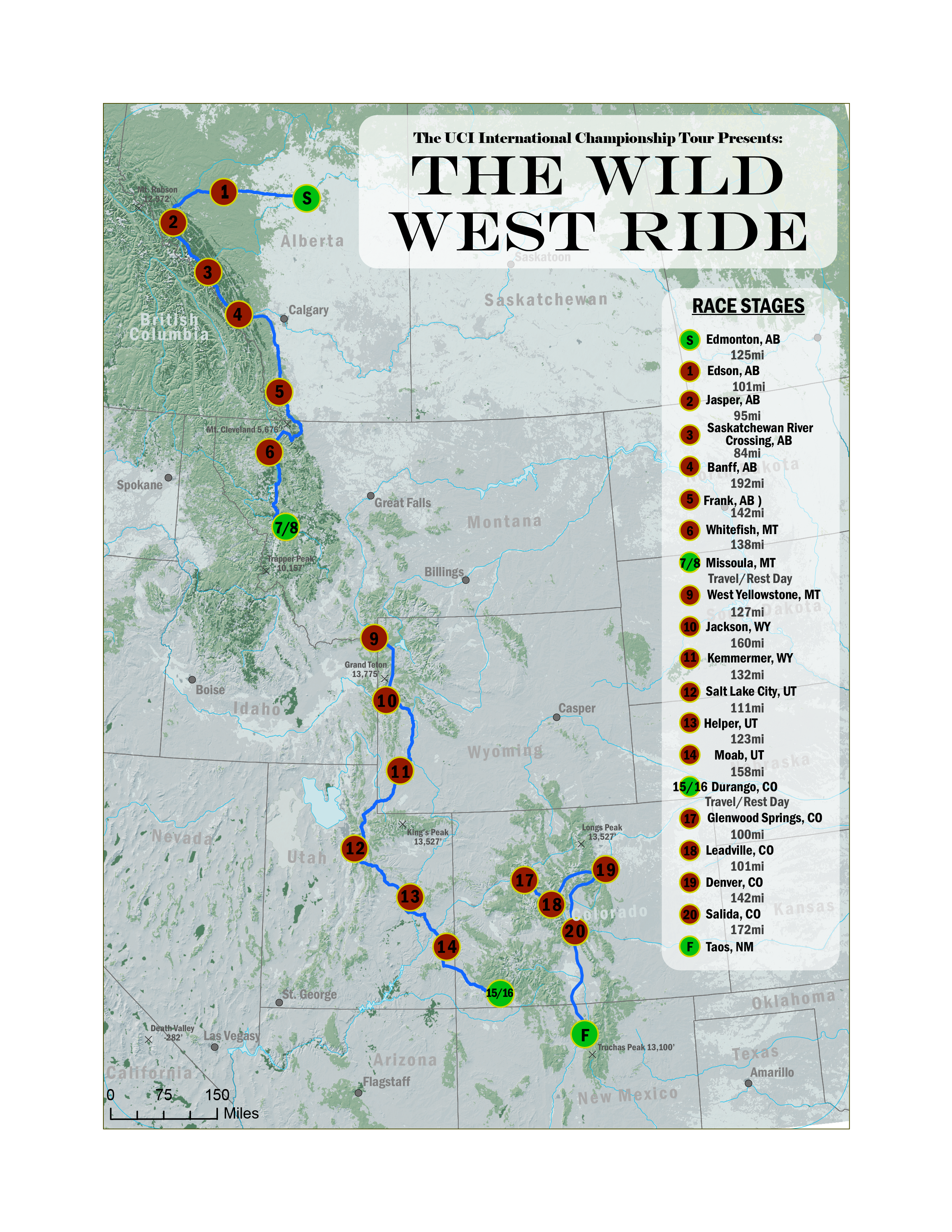
Wild West Bike Race
This graphic was a class project that involved the use of several cartographic skills in order to make a map to illustrate a fictional bike race route through mountainous and flat terrain. A route, in a vector format was created and exported from My Google Maps. Using ArcGIS, raster data was used for a basemap, surface cover and in the form of a digital elevation models to eventually give the appearance of 3D terrain features. The terrain, DEM and land cover raster files were merged into one graphic using Photoshop, which was then exported to Adobe Illustrator for the addition of remaining map elements.
